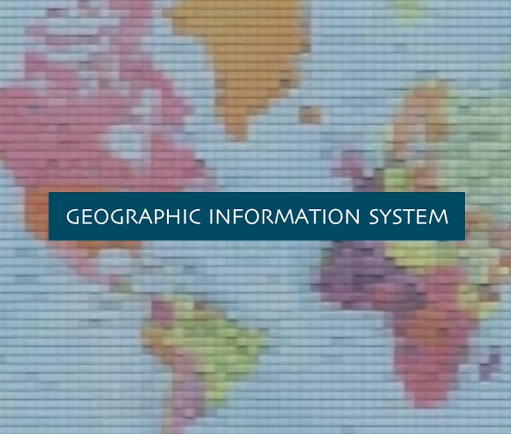
Geographic Information System
Learning Modules for College Level
Description
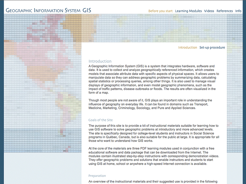
The Geographic Information System (GIS) provides instructional materials for learning how to use GIS software to solve geographic problems at the introductory and more advanced levels.
The site is specifically designed for students and teachers in social science programs in Quebec, but it is also suitable for anyone who wants to understand how GIS works.
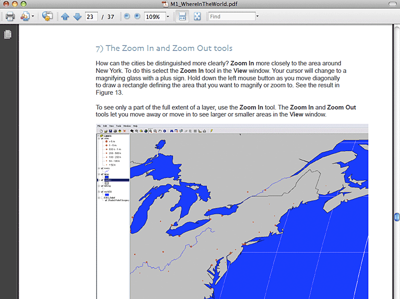
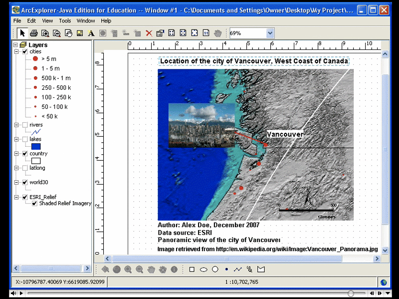
The course material includes three learning modules in PDF format used in conjunction with free learning software and a dataset that can be downloaded from the internet. The modules contain step-by-step illustrated instructions with corresponding demonstration videos. They present geographic problems and solutions that allow getting started with GIS at home, school, or anywhere that offers a high-speed internet connection.
French version: Système d’information géographique
Détails
Ressources connexes
- Nouveauté

Adolescence : observer, décrire, interpréter
Le site Adolescence : observer, décrire, interpréter s’adresse à tout le personnel du réseau collégial québécois enseignant la psychologie du développement. Ce site offre 31 vidéos permettant d’observer des situations de vie réelles vécues par des adolescents et traitant de thèmes comme la quête identitaire, la régulation émotionnelle et l’attachement. Des outils…

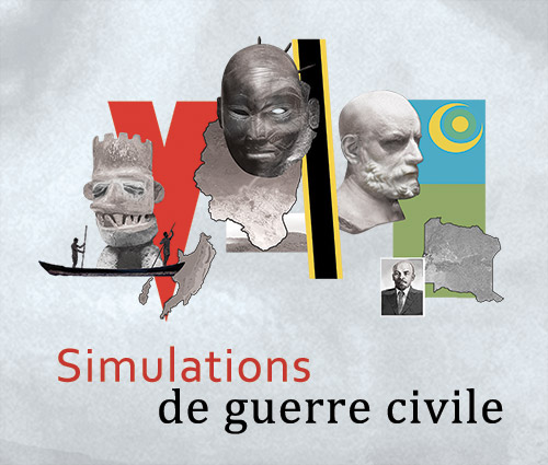
Simulations de guerre civile
Simuler les guerres civiles pour mobiliser les connaissances en sciences humaines
Les guerres civiles amènent un sujet complexe dont la compréhension fait appel à des connaissances multidisciplinaires. Elles constituent une matière de choix pour intégrer les connaissances de plusieurs disciplines des sciences humaines. À cette fin, la page Web Simulations de guerre civile propose de réaliser avec les étudiants et étudiantes…
- Nouveau visuel
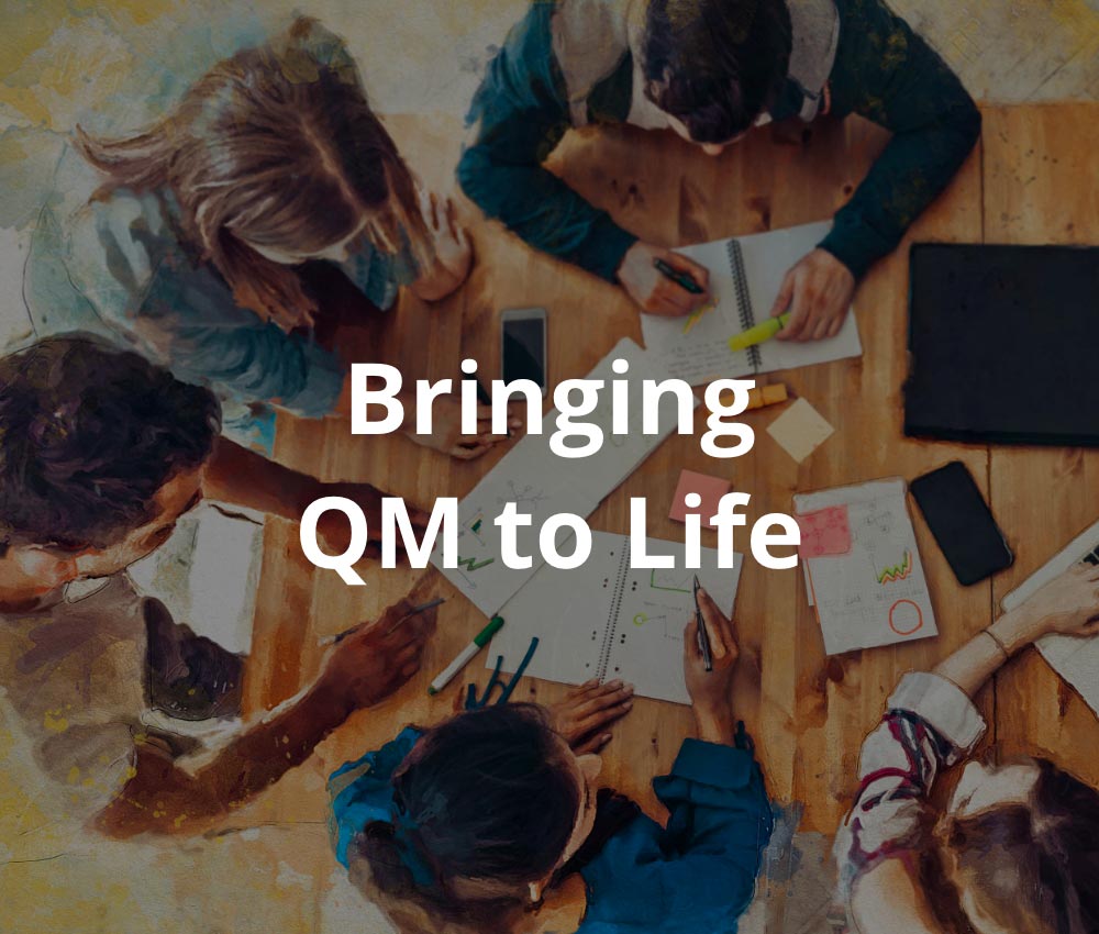
Bringing QM to Life
Problem-Based Learning for Quantitative Methods
Bringing QM to Life aims to actively engage social science students in their own learning process with a multidisciplinary, problem-based approach to research methods using quantitative data. The website offers activities with real-life scientific scenarios and various accessible, customizable levels of complexity that can be done individually or in teams,…
-
Développement de l’enfant
Observer et comprendre
Le site Développement de l’enfant se veut un outil pédagogique pour les cours de psychologie du développement du programme Sciences humaines et des programmes techniques. Par ses nombreuses vidéos, il rend possible l’observation d’enfants, tant à l’intérieur qu’à l’extérieur de la classe. Le site contient une banque de vidéos illustrant…
-
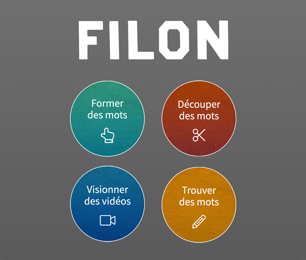
Filon
Le plaisir de creuser… et de s’enrichir!
Par le jeu, le site Filon vise à familiariser les étudiants et étudiantes avec les racines des mots et à favoriser le développement d’une meilleure compréhension de concepts courants en histoire et, plus généralement, en sciences humaines. Le site comprend 30 racines illustrées, 10 vidéos ludiques et plusieurs activités variées. Il est…
-
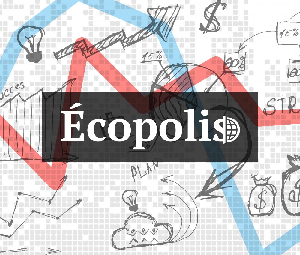
Écopolis
Comprendre les fondements économiques à l’aide d’une simulation macroéconomique interactive et conviviale
Écopolis est un État fictif fonctionnant dans une économie où le gouvernement est interventionniste dans un contexte de mondialisation des marchés. Le but de l’activité est de comprendre le fonctionnement d’une économie à l’aide d’un simulateur basé sur les fondements de la théorie keynésienne. Cette simulation développera la compréhension des…
-
The Research Competition
The Research Competition, a set of pedagogically innovative role-play scenarios that is available online free of charge, supports teachers and students producing research work for the Social Science Research Methods course. Simulating the process of funds allocation for social science research in a manner similar to the yearly competitions held…
-
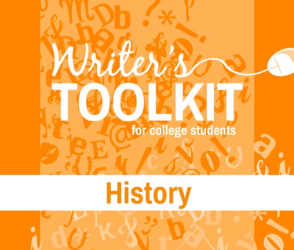
Writer’s Toolkit for College Students
History
The Writer’s Toolkit for College Students was put together to help CEGEP students achieve their academic, professional, and personal goals by becoming more effective communicators. The idea for the Toolkit originated from discussions between English and humanities teachers on how their departments could reinforce common skills. Since then, the project’s…
-
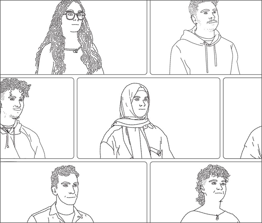
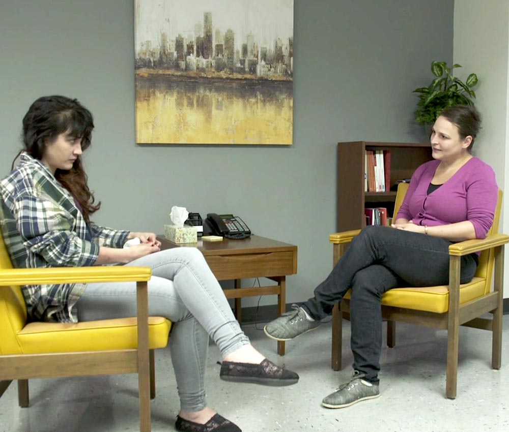
Intervenir en situation de crise suicidaire
Le site Intervenir en situation de crise suicidaire est un outil de formation conçu pour favoriser l’apprentissage de la compétence à intervenir en situation de crise suicidaire. Cette formation renvoie à une tâche complexe qui nécessite des connaissances théoriques permettant une modélisation de l’intervention en situation de crise suicidaire en…
- Nouveau visuel
Pleins feux sur le communautaire
Le site Pleins feux sur le communautaire vise à soutenir l’enseignement collégial lié à la connaissance des secteurs communautaire et de l’économie sociale au Québec et du rôle qu’ils occupent dans l’insertion professionnelle et sociale des personnes les plus démunies. Le site s’adresse, entre autres, au personnel enseignant de sociologie…
- Nouveau visuel
Simulation politique
Apprentissage de notions politiques à l’aide de simulations
Le site Simulation politique sert à l’enseignement de la science politique à travers la simulation et les jeux de rôles, en classe ou en ligne. Il fournit aux enseignants et enseignantes divers outils pédagogiques qui favoriseront l’acquisition, chez leurs étudiants, de notions de base en politique québécoise et canadienne, particulièrement…
-
Intervenir en situation de crise suicidaire
Ce manuel vise l’amélioration des compétences professionnelles sur le plan de l’identification et du traitement des personnes souffrant de troubles mentaux ainsi que l’amélioration des interventions auprès des groupes à risque, des personnes à risque de tentative ou des personnes ayant fait des tentatives de suicide. Il décrit des caractéristiques…